

UR-Sweden Symposium showcases innovation-driven solutions to Rwanda’s pressing challenges
- 13-06-2025
- 420
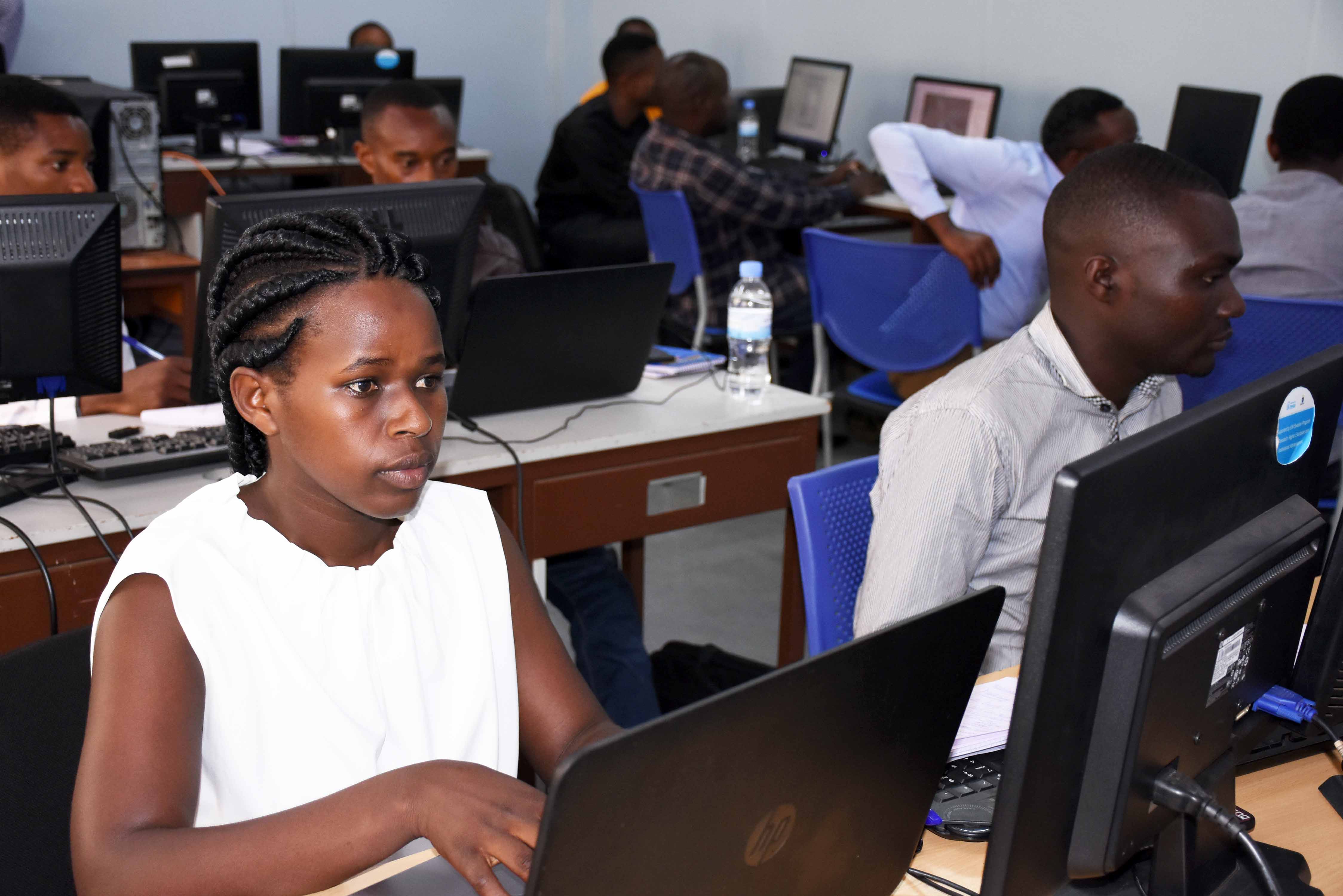
Participants from three districts of Rwanda were convened at the College of Science and Technology for a five day practical training about the use Geographic Information System-GIS technology. Trainees already work in areas where GIS is mostly used and were equipped with the basics for proper planning in line with land administration and management in cognizance of environmental and forest protection as well as infrastructure development. The training is supported by UR-Sweden Programme under its GIS subprogramme operating in the College of Science and Technology.
During the training, participants were able to identify and understand the application of GIS while to be familiar with the use of GPS. GIS spatio-analytical functions for problem solving and spatial decision making were equally tackled to demonstrate by practical exercises how GIS can be used to capture, manage, analyse data.
Among participants in the training include Odile Ayinkamiye who is a Sector land manager from Rubavu District. She witnessed that the training will help in combining existing information based on topographic data in order to inform or solve a given scenario. According to her the move would also allow her to know and manage the land parcels existing in her control area.
Odile Ayinkamiye (L) was among the participants in the training
“It will be easier to check data given by satellite and relate them with activities that the land is destined to accommodate” said Ayinkamiye, adding that the training is an opportunity to simulate possible scenario where field data on the map can help to incorporate various infrastructure, building, car parking, wetlands etc. and easily to update and get accurate data which is not time and budget consuming.
Speaking during the training, Joseph Tuyishimire who is researcher at the GIS Centre said that participants were targeted due to their involvement in the field of agriculture, environmental management, land management and administration which requires knowledge in GIS. He also noted that the training aimed to equip participants with practical skills to be able to create and demonstrate each variables on the map using GIS technology
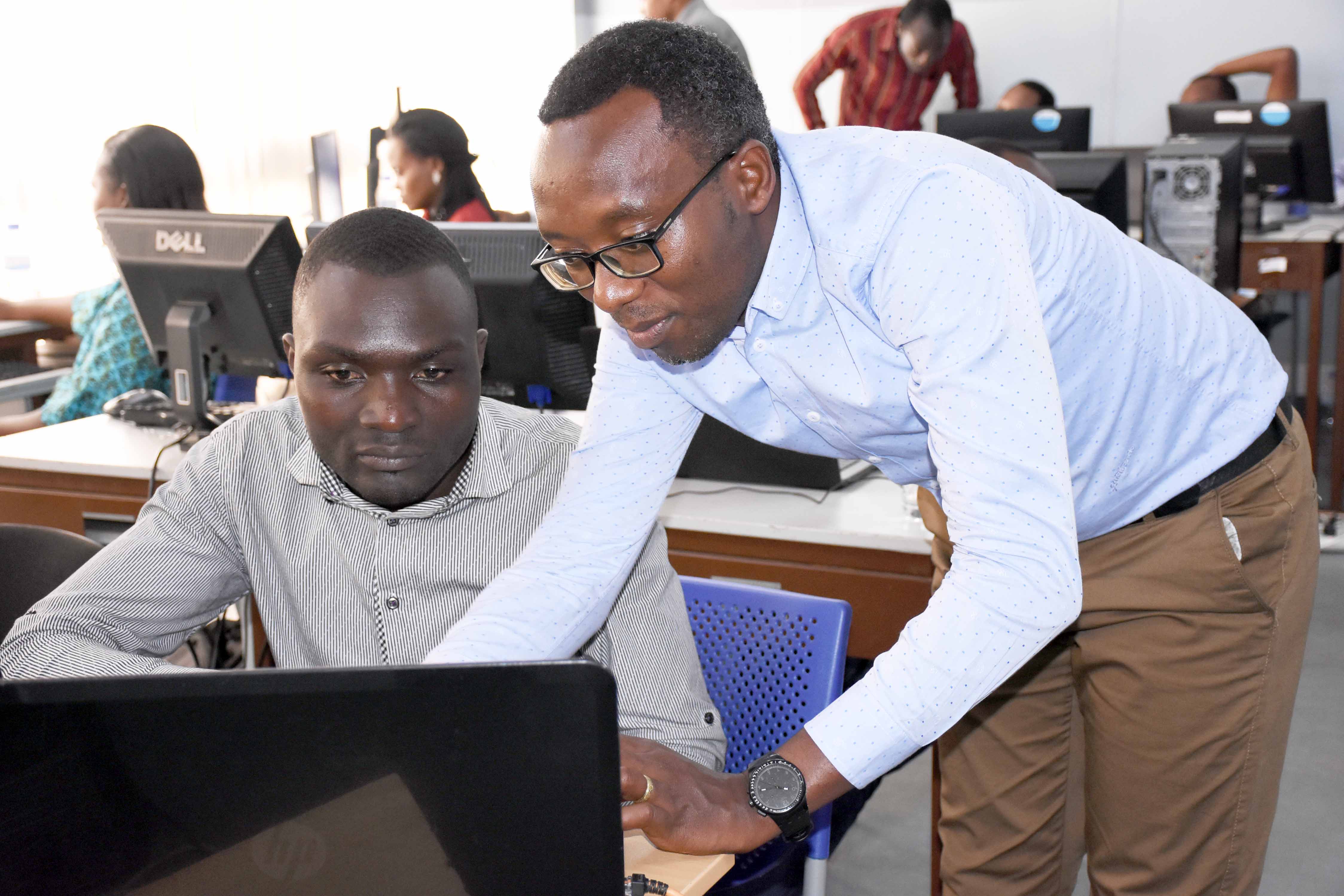
Tuyishimire (R), a researcher at GIS centre during the training
Tuyishimire added that the training will also allow participants for proper planning and reporting with accurate spatial location data so that decisions can be taken in accordance with scientific and tangible evidence.