

UR-Sweden Symposium showcases innovation-driven solutions to Rwanda’s pressing challenges
- 13-06-2025
- 418
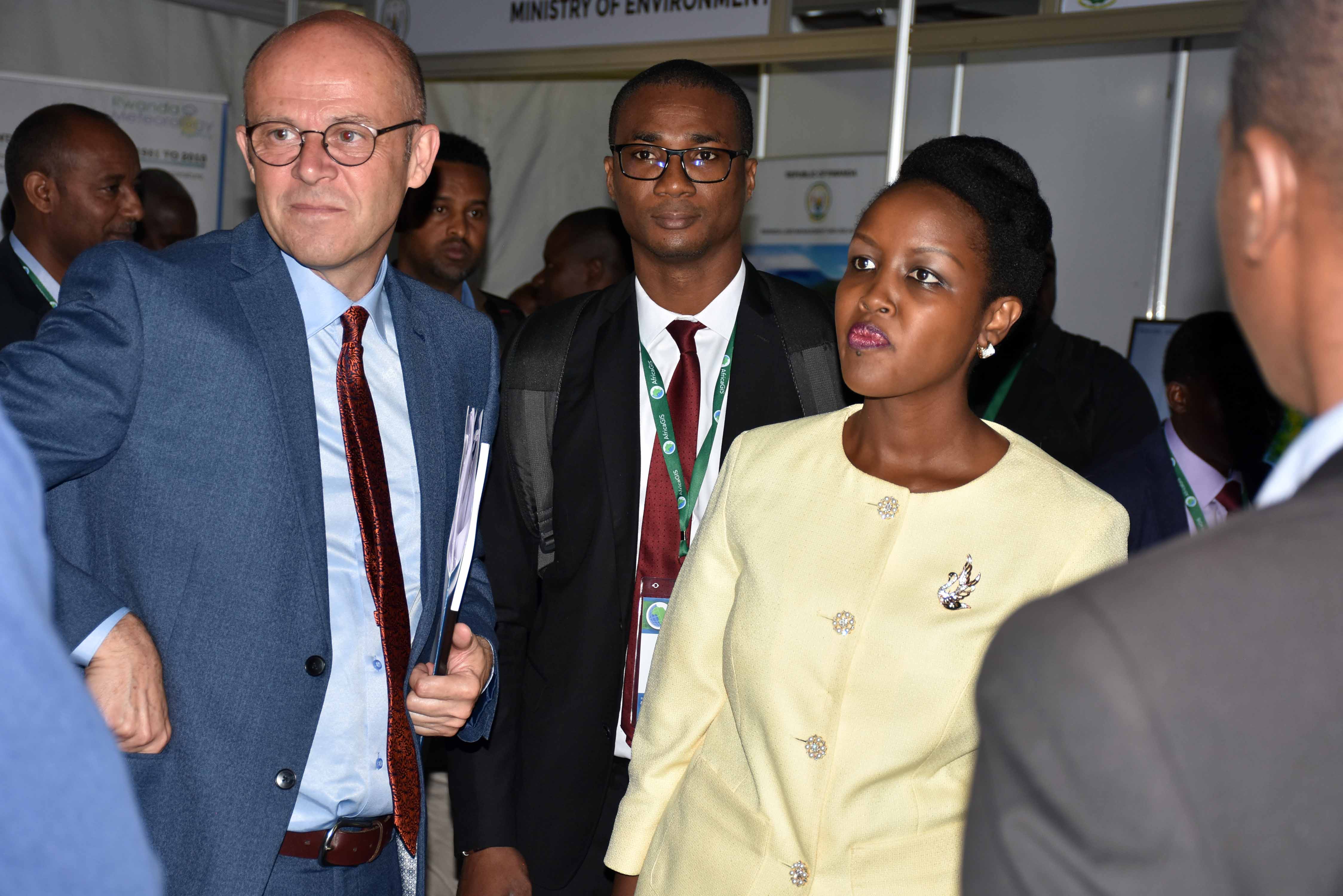
At least 500 delegates from around the world are convened in Kigali at the University of Rwanda for the 16th edition of AfricaGIS 2019. Organized by the University of Rwanda through its Centre for GIS and Remote Sensing in collaboration with EIS Africa, the conference seeks to explore the role of innovations in geospatial information and its implication in addressing the 17 SDGs targets for an inclusive, prosperous and sustainable African continent.
The conference was officiated by Hon. Paula Ingabire the Rwanda Minister of ICT and Innovation. Speaking on the occasion, Paula noted that the conference is in line with the Government set objectives to place digital technologies and innovation as a priority but also as key drivers for economic growth. She also stated that the country understands the potential of GIS and geospatial data to strengthen land administration and management among others while supporting Government decision making.
Minister Paula Ingabire (C) flanked by UR Vice Chancellor and the conference delegates
“Today Geospatial data is used by multiple public institutions for either better management of their data or through supporting decision making in different domains such as public health, education, transportation, urban planning, agriculture to mention but a few,” said Paula, adding that GIS will be instrumental for the success for Rwanda vision 2050 next chapter.
In his remarks, Prof Phill Cotton, the Vice Chancellor of the University of Rwanda also the host institution commended the people behind the organization of the conference. He added that GIS community is made of dedicated people who are leading the way in assisting the nation and its people to make informed decisions and do their things properly.
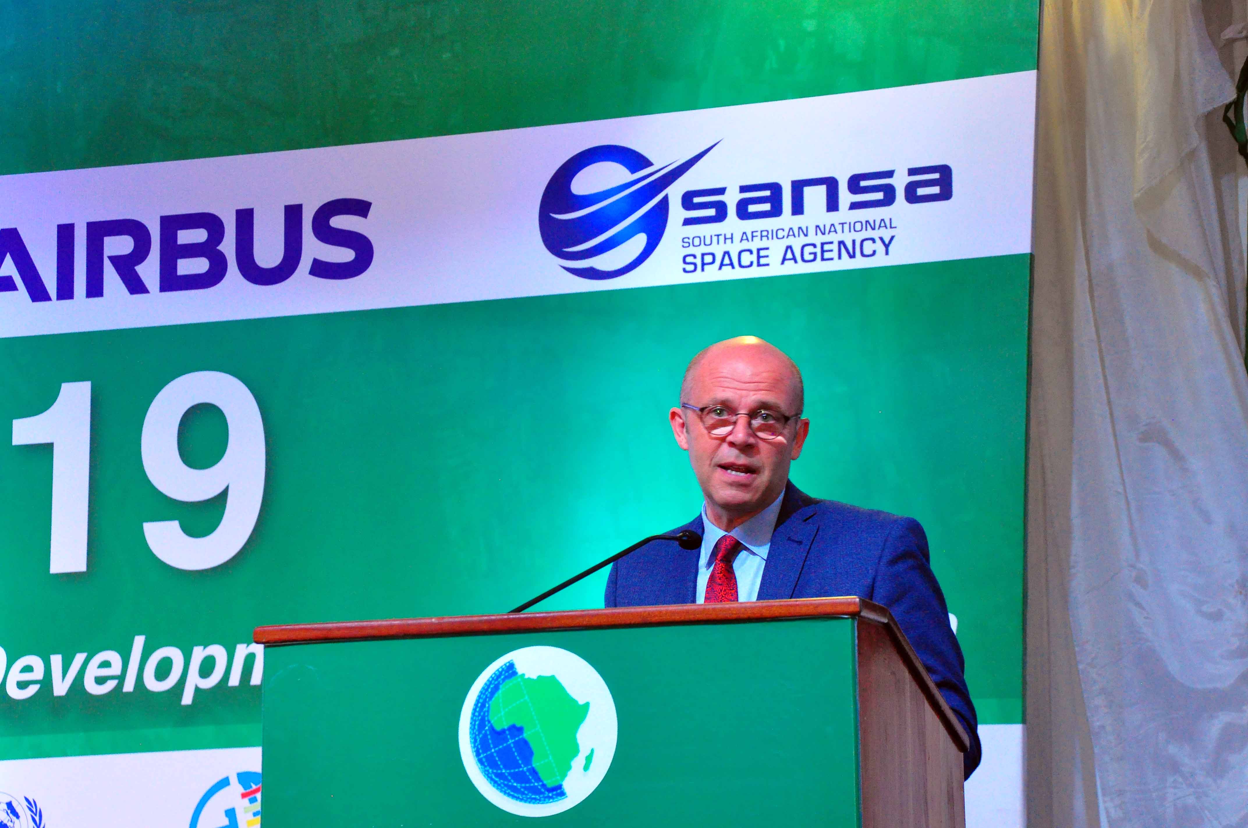
Prof Cotton delivering his remarks during the conference
Sives Govender is the EIS Africa executive Director, the organizing partner together with the University of Rwanda. According to him, the conference is about learning, collaborating, sharing and building networks for future partnership. He believes that the community of experts and scientists are the one to provide scientific sound information to support decision making. Govender called on conference participants to use their experience and look at innovative ways to meet social economic and development challenges which will ultimately improve the lives of people.
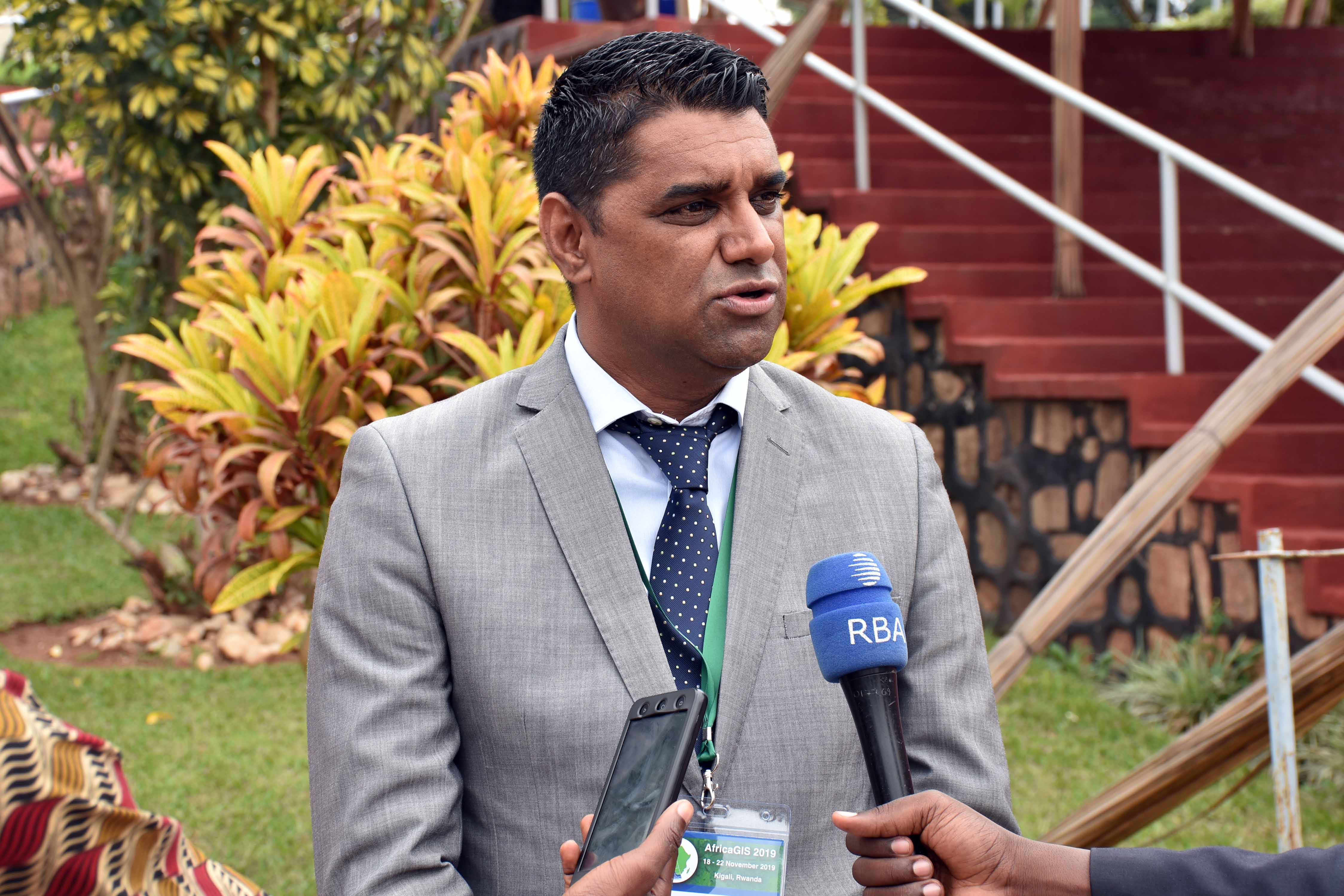
Sives Govender talking with media
The conference also features exhibition from different organizations that showcase good practices and some breakthrough achieved in the area of Geospatial technology. It is organized around the theme “Innovations in Geospatial Technologies for Achieving the Sustainable Development Goals in Africa.” The conference and exhibition have attracted 40 countries and will last for 5 days.

Conference participants and exhibitors